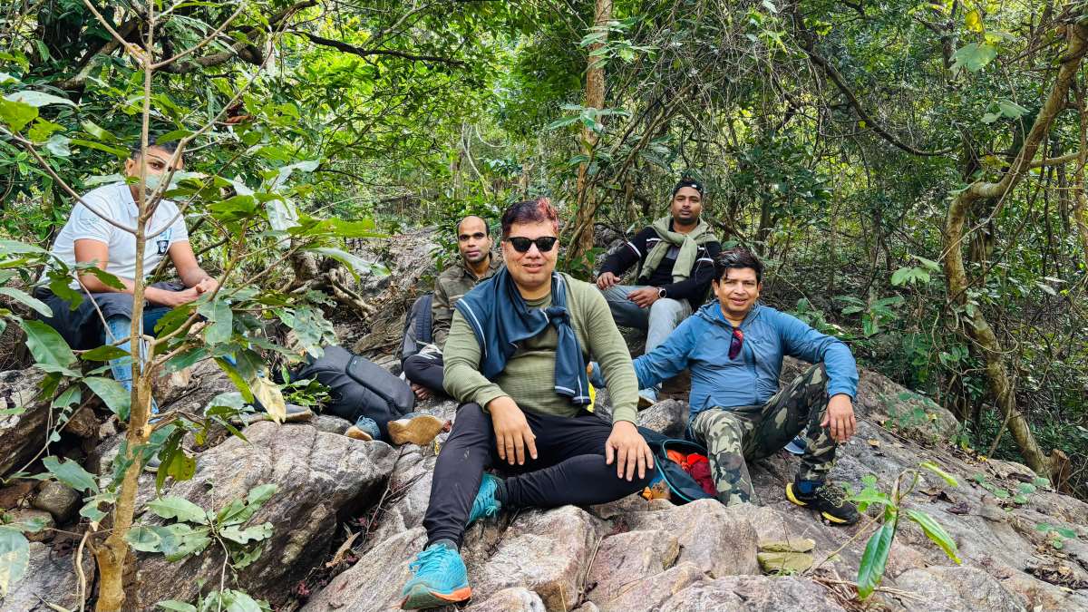
- Height – 2047 ft
- Distance – 10 km
- Elevation Gain – 1500 ft
- Difficulty – Moderate
After a night camp at the Similijhara waterfall, we planned to summit an unnamed peak in the Khallikote Range of the Eastern Ghats of India. The hike has 2 approaches, one via the Similijhara spring, and other via the jungle road called – Ladu Baba Road. We decided to go via the spring and return via the road.


The multistep cascading spring has 4 small waterfalls on the way. We zig-zagged through the rocks and the spring till we reach a spot where the road meets the spring. From there on we walked around 1 more kilometer, till we reached a dry spring which is crossing the road.


From there we took the dry spring route to avoid the dense and thorny shrubs in the lower heights. Once we reached a dry waterfall on the way, we took our breakfast break.


After few minutes of break, we could find a nice elephant made path on the spur leading to the ridgeline of the Khallikote Range. Thank the elephant and their eating and pooing habits, they have left a trail of markers for us to follow to the top.


From there on we followed the ridge line till we reach the first marker on the ridgeline – Marker No15. We again rested at that point which is at a height of 1700ft. There were lots of elephant poops all around that place, giving an indication that, it is a rest place for the elephants.


From there on the path is not so clear, but the ridgeline is quite evident. GaiaGPS the APP, I use for navigation in the jungle helped us to stick to the path to the highest point in that mountain range.


We reached the highest point on the new hiking path around 10 AM. It is also marked with high point forest number 16. The height of the place as read by the GPS stands at 2047 ft. It was great moment as we established a new exciting hike trail from Similijhara Waterfall to Point 16 of Khallikote Range. Will come back do this hike with other friends who are interested to join AdventureOdisha.com


The GaiaGPS app helped us to find our way back to the camping spot, via the exactly the same way we went up. After coming down we all took a dip the freezing water of the Similijhara for an instant cure the sore legs of walking 10 km in dense forest.


Leave a Reply